The following images were found on other internet sources listed on my link pages.
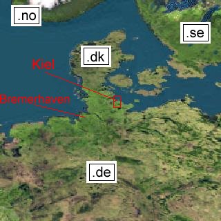
This is a satellite map of northern Germany and the adjoining coastal states
of the baltic sea.
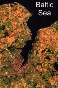
Now we are coming closer to Kiel. Kiel is the city wrapping around the southern end of
a fjord called "Kiel Bay" or "Kieler Bucht" (german). Near the middle of the western part of the image
you can see the channel between North Sea and the Baltic Sea, called "Kiel Kanal" or "Nord-Ostsee-Kanal".
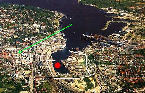
The green arrow marks the place I live. The complete reconstructed
city area around the Hoern is marked by white lines while the future
place of the bridge over the Hoern is marked by a red spot.
This page was last modified on 22-Jul-97
Send me an email: uwezi@geocities.com